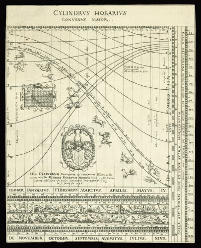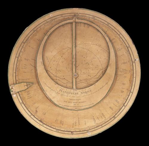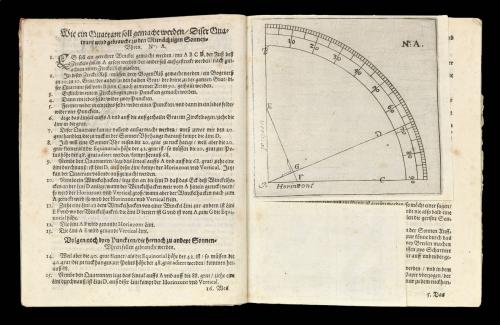
Price on application
This object is eligible for a Certificate of BADA Provenance
The BADA Standard
- Since 1918, BADA has been the leading association for the antiques and fine art trade
- Members are elected for their knowledge, integrity and quality of stock
- Our clients are protected by BADA’s code of conduct
- Our dealers’ membership is reviewed and renewed annually
- Bada.org is a non-profit site: clients deal directly with members and they pay no hidden fees
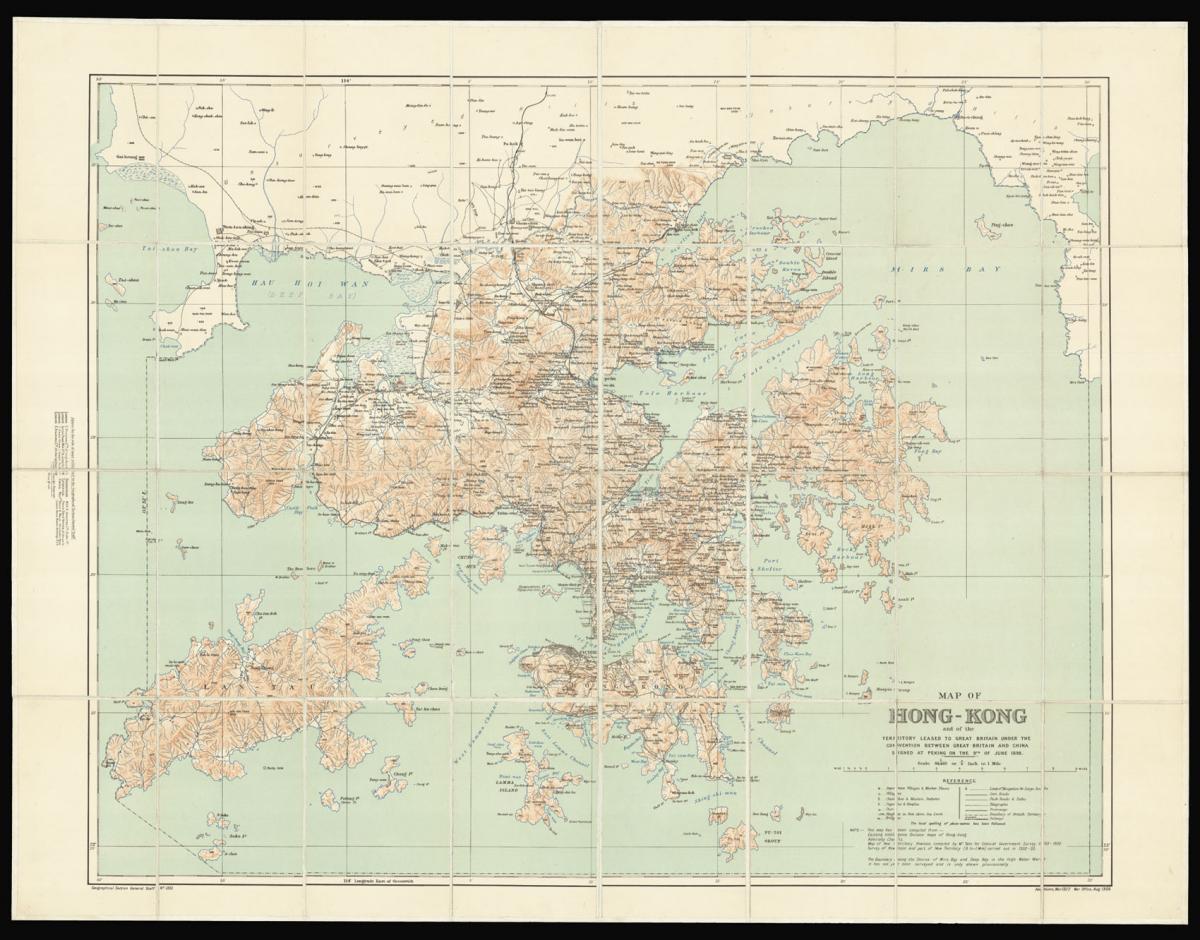
Hong Kong - the ailing Qing dynasty leased to Great Britain, 1898.
Title Map of Hong Kong and the Territory leased to Great Britain under the Convention between Great Britain and China, signed at Peking on the 9th of June 1898.
Author War Office, Geographical Section, General Staff.
Publication place Hong Kong.
Publication date 1922.
Colour lithographed map, dissected and mounted on linen, folding map.
Notes
An early, attractive, and detailed map of Hong Kong and the New Territories first published in 1905 and re-issued with additions in 1922. From another example of this chart we have handled, it appears that the coastline from Sai Kung to Mirs Point onwards was taken from Admiralty charts; that of Deep Bay, from the mouth of the Sham Chun River to South-West Point, from a survey by the P.W.D.; thence northward and westward from Admiralty charts; that of Lan Tao and adjacent islands from a 1-inch map compiled by Tate; and the New Territories from a map compiled by W. J. Newland in 1903-04, with additions and revisions by P.W.D. in 1913 and 1922.
As listed in the Reference table, the map shows Important Villages & Market Places; Villages; Churches & Mission Stations; Pagodas & Temples; Pass; Heights in Feet above Sea Level; Bridges; Limit of Navigation for Large Junks; Cart Roads; Pack Roads & Paths; Telegraphs; Tramways; Boundary of British Territory; and Railways. "The local spelling of place-names has been followed".
This map has been compiled from Existing Intelligence Division maps of Hong Kong; Admiralty Charts; Map of New Territory Kowloon, compiled by Mr. Tate for Colonial Government Survey 1899 – 1900; Survey of Kowloon and part of New Territory (8 In. – 1 Mile) carried out in 1902-1903.
The boundary along the Shores of Mirs Bay and Deep Bay is the High Water Mark. It has not yet been surveyed and is only shown provisionally.
Geographical Section General Staff No. 1393. Additions, Mar. 1922, War Office, Aug. 1905.
Scale 1:84,480 or ¾ Inch to 1 Mile
Dimensions
665 by 860mm. (26.25 by 33.75 inches)Stock number
14937The BADA Standard
- Since 1918, BADA has been the leading association for the antiques and fine art trade
- Members are elected for their knowledge, integrity and quality of stock
- Our clients are protected by BADA’s code of conduct
- Our dealers’ membership is reviewed and renewed annually
- Bada.org is a non-profit site: clients deal directly with members and they pay no hidden fees