


Sold
This object is eligible for a Certificate of BADA Provenance
The BADA Standard
- Since 1918, BADA has been the leading association for the antiques and fine art trade
- Members are elected for their knowledge, integrity and quality of stock
- Our clients are protected by BADA’s code of conduct
- Our dealers’ membership is reviewed and renewed annually
- Bada.org is a non-profit site: clients deal directly with members and they pay no hidden fees
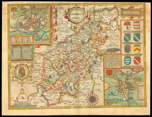
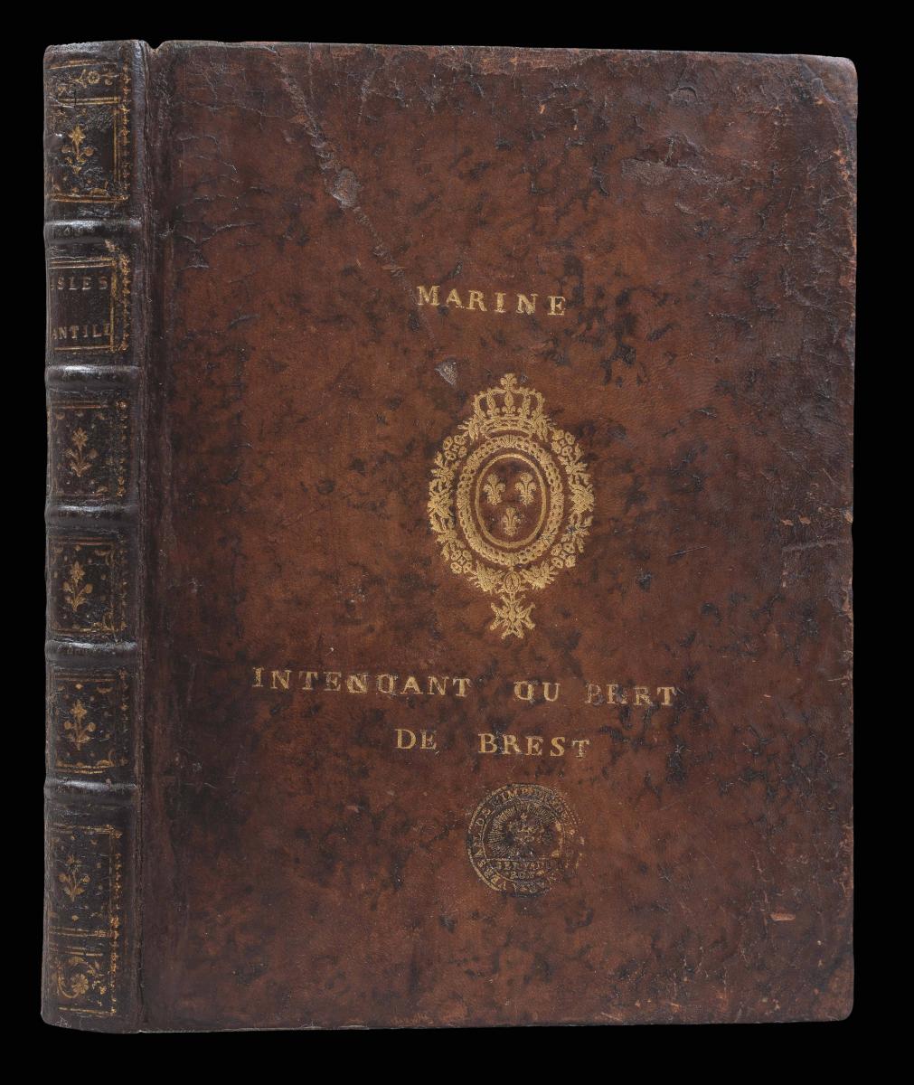
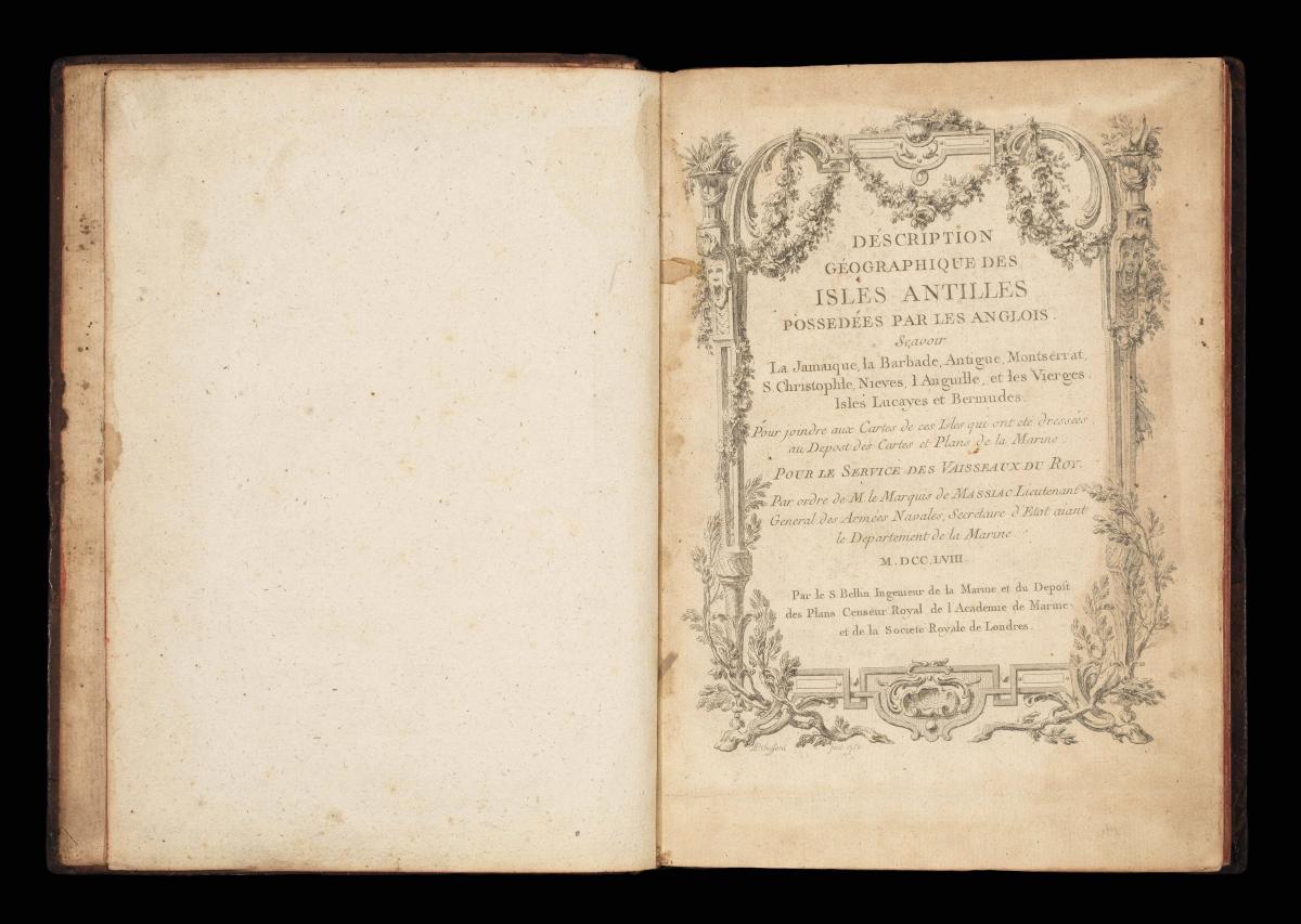
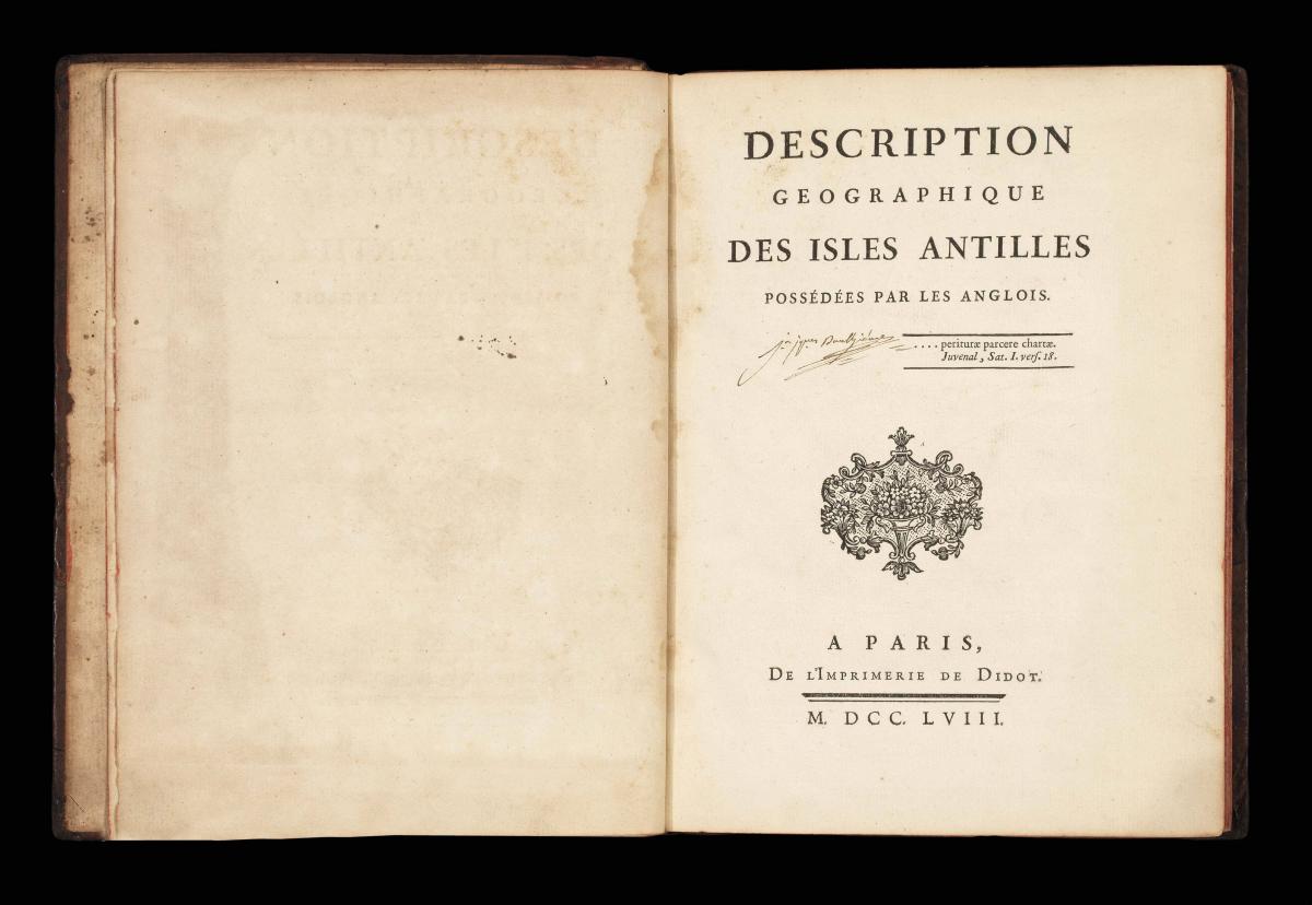
Description Geographique des Isles Antilles possedees par les Anglois.
Author: BELLIN, Jacques Nicolas
Publication place: Paris
Publisher: De L’Imprimerie de Didot
Publication date: 1758.
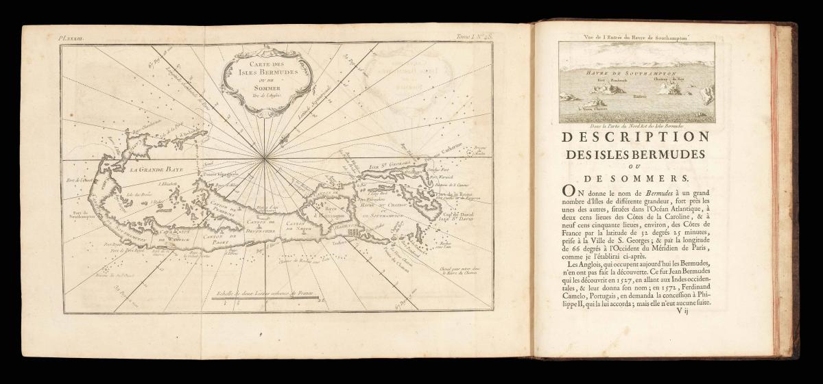
Physical description: Quarto, additional engraved title-page by P.P. Choffard, laid down, 7 double-page and folding and 4 full-page charts, one folding plan, one full-page plan, 10 vignette headpieces including 7 views by Choffard; contemporary mottled calf, gilt supra-libros of Louis XV of France, and the “Marine Intendant ou Port de Brest” on each cover, preserved in morocoo backed cloth slipcase and chemise.Collation: [-](2), a, b(4), A‑X(4), Y(2); xii, 171
Notes
A very attractive atlas of the West Indies, focused on the valuable British possessions, which were of great interest to the French and their ally Spain, during the Seven Years’ War. The atlas is brimming with information useful to the embattled French Navy, and it is not surprising that this example should have been in the library of the port authority at Brest – a major port for French ships operating in the Atlantic. Since several other examples are known with the arms of Louis XV, it is likely that it they were more a sign of the royal seal of approval, than an indication of personal use.
The Treaty of Paris of 1763, which concluded the war, saw France renounce to the British the islands of Granada and the Grenadines. In return, Britain restored to France the islands of Guadeloupe and Martinique. In return for recovering Havana and Manila, Spain ceded Florida to Britain and received Louisiana from the French.
Bellin (1702–1772), was the most significant and influential publisher of charts in eighteenth century France. He was appointed chief cartographer and hydrographer to the French Navy in 1721, and ‘ingénier hydrographe’ to the French navy’s Dépôt des cartes et plans de la Marine in August 1741. Bellin was also a member of the Académie de Marine and of the Royal Society of London. During his fifty year career, Bellin published a number of atlases, including ‘Hydrographie française’ (1753), ‘Carte de l’Amerique septentrionale’ (1755), ‘Petit Atlas Maritime’ (1764), which incorporated the maps from this atlas, and the ‘Nouvelle méthode pour apprendre la géographie’ (1769).
Provenance
1. With the supra-libros of King Louis XV of France on each cover.
2. The supra-libros of the “Marine Intendant ou Port de Brest” on the front cover.
3. Early nineteenth century ownership inscription and marginal annotations of Jean-Jacques ?Daulgeneves.
Dimensions
250 by 190mm. (9.75 by 7.5 inches)Stock number
16327The BADA Standard
- Since 1918, BADA has been the leading association for the antiques and fine art trade
- Members are elected for their knowledge, integrity and quality of stock
- Our clients are protected by BADA’s code of conduct
- Our dealers’ membership is reviewed and renewed annually
- Bada.org is a non-profit site: clients deal directly with members and they pay no hidden fees